Suppose we want to find a buried treasure, and the only person who knows where the treasure is cannot travel with us. How will we find the treasure? The individual who knows where the treasure is could describe to us in great detail how to get to and find the treasure. This might work, but what happens if we forget an important part of the instructions? We would have to travel all the way back and have them repeat again the description of where the treasure is hidden. We could have them write the description down for us. That way, we will not forget it. Having these instructions in hand, we can easily refer back to them as needed. A list of written directions would be a more useful tool, but what would happen if we got lost? Once we were off course, the written directions would no longer be of any use to us. These instructions only specified how to find the treasure from one specific starting point, and not from our current lost position. A map solves both of these problems.
Drawing a detailed map of the area around the treasure would allow us to take something with us so that we don’t forget. If we get lost, we simply determine where on the map we are, and then continue towards our destination.
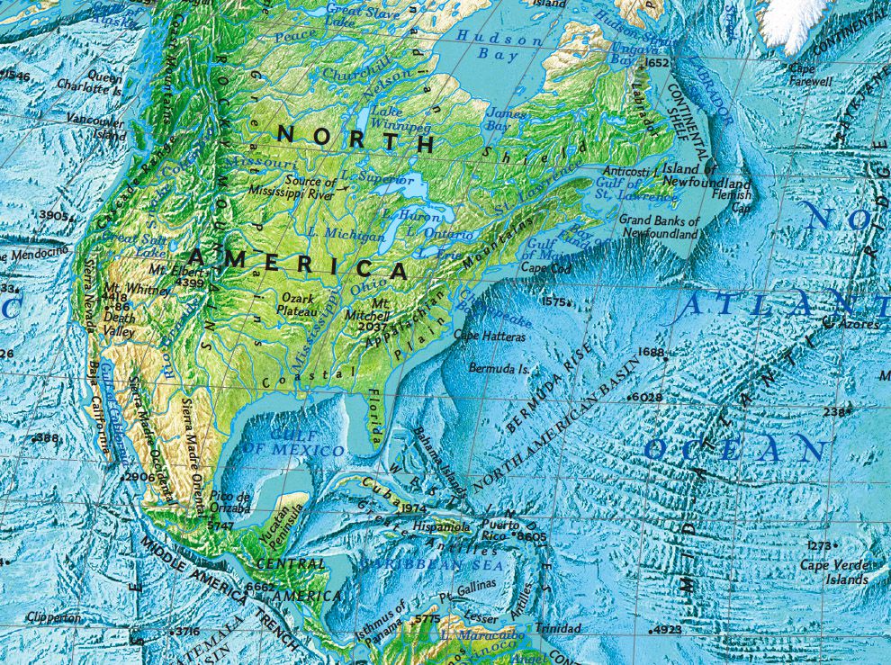
A map is a two dimensional description of a specific area of land. Maps describe in a visual or graphic format certain key features of the territory being examined. For example, a road map of the state of Montana shows many of the important state roads and how they interconnect. A roadmap might also show the towns and cities, as well as a few of the more popular destinations within a state. Other maps might show the distribution of birds along the wetlands of the Great Salt Lake, or the distribution of human populations throughout the world.
Maps are important tools and are indispensable to geographers. They help geographers understand in a visual way important things about the surface of the Earth. Where do evergreens grow, where are volcanoes actively erupting, and where are trout most likely to be found, are all examples of how a geographer might use a map.


